Get the District of Lunenburg Hike Badge!


To qualify for the District of Lunenburg Hike badge, choose four hikes from the below list of six to complete in one year.
Customize your challenge with a total distance from 11 km to 30 km. Throughout this challenge, discover and explore the District of Lunenburg’s spectacular scenery, including: ocean vistas, river falls, ocean and river lookouts, calm ocean basins and lush forests. You will find hiking trails that suit all levels of skill and ability to enjoy.
Email:
Rhodenizer Brook Falls Hike - *New* ~ 3km
Start from the Municipal Activity Recreation Complex (MARC) parking lot, which is located off 33 Leary Fraser Road, Dayspring. This is a loop hike on an accessible trail through wooded forest to Rhodenizer waterfall. The trail also follows MODL's newly opened Panikiskiaq (Ban-ee-gis-gee-okh), "Sunbeams Through" Nature Pathway, with carved boulders of native species and fauna.
Download a copy of the map
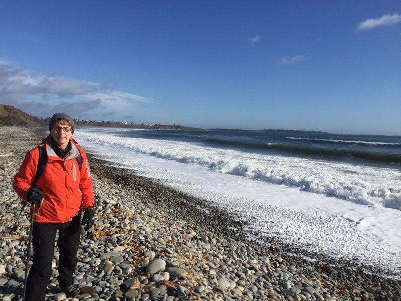
Gaff Point Hike ~ 8km
 Start from Hirtle’s Beach (from the parking lot, turn right), which is off Hirtle’s Beach Road in Upper Kingsburg. Gaff Point and Hirtle's Beach Hike is a loop trail that features a great forest setting with spectacular ocean views and is good for all skill levels. In 2002, the 124-acre property was designated as a protected coastline and wilderness area with the Nature Conservancy of Canada.
Download a copy of the map
Indian Path Commons Hike ~ 6km
 Start from Indian Path Commons parking lot, off Fish Peddler Road in East LaHave. Indian Path Commons Hike is an out-and-back trail which features a lake and elevated look-offs and is good for all skill levels. The trail offers several loop routes for you to choose from.
Download a copy of the map
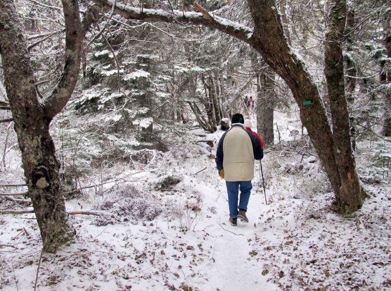
Dynamite Trail Hike from Martins River to Narrows Bridge ~ 4km or more
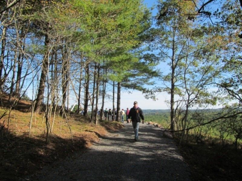
 Start from the Dynamite trail parking lot off Station Road (across from Martins River Fire Department). Martins River to Narrows Bridge is an out-and-back hike through a forest of pine trees, which leads to the Narrows Basin with a bridge over a sheltered ocean inlet; a nice place to stop to take a deep breath of the fresh coastal breeze.
Download a copy of the map
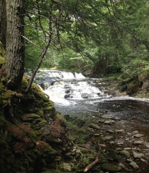
River Ridge Common Hike ~ 3km or more
Start from the River Ridge Common parking lot off Highway 10 in Pinehurst. River Ridge Common Hike is a loop hike through wooded forest and a waterfall trail. River Ridge Common also has a natural playground, single-track mountain biking trails and connects with the South Shore Annapolis Valley.
Download a copy of the map
Lahave River Trail Hike ~ 5km or more
 Start from the Arthur Young Trail parking lot, off Highway 10 beside Best Western Plus, Cookville. The LaHave River Trail Hike is an out-and-back hike with a scenic lookout and riverbank views of the meandering water through the forest.
Download a copy of the map
All distances are return.
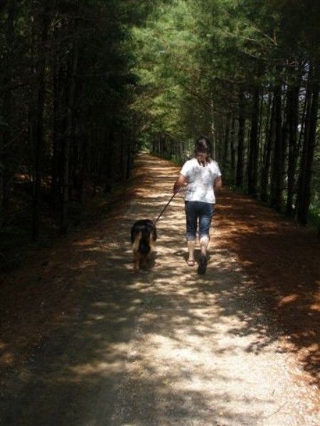
**Dogs are also able to use trails, but must be kept on leash.
***Please follow Provincial Covid-19 Guidelines.
For information on Hiking Safety, visit Hiker Challenge Badges.
